Roger (Grisly)'s photos
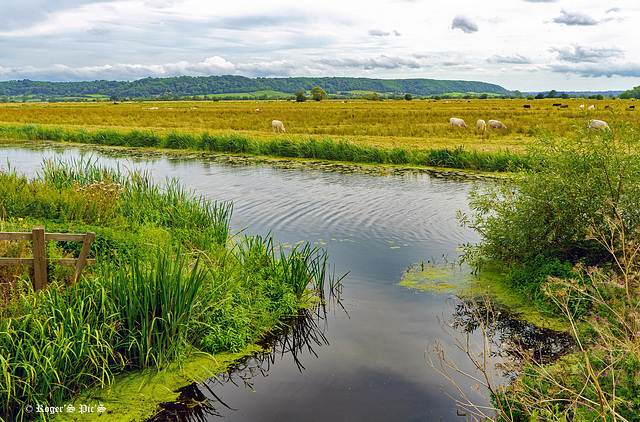
King Sedgemoor, (1 Note)
Boundary Rhine runs parallel with the King Sedgemoor Drain, although controlled by sluices water from the Rhyne is allowed to flow into the drain at a number of places, this shot is of the outfall at Greylake on King's Sedgemoor.
The Somerset Levels have an area of about 160,000 acres (650 km2) and are bisected by the Polden Hills; the areas to the south are drained by the River Parrett, and the areas to the north by the rivers Axe and Brue. The Mendip Hills separate the Somerset Levels from the North Somerset Levels. The Somerset Levels consist of marine clay "levels" along the coast and inland peat-based "moors"; agriculturally, about 70 per cent is used as grassland and the rest is arable. Willow and teazel are grown commercially and peat is extracted. (Wikipedia)
To give an idea of the drainage system on the levels I have added a previously posted screen grab from openstreemap,
Large view perhaps,,,,,,,,,,,, Wish you all a nice Friday and a good weekend
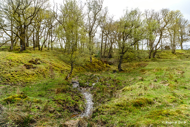
Fairy Glade.
A bright day in mid-May with thin cloud cover and strong but patchy sunlight,
The fast flowing watercourse is tumbling down to a culvert which will carry under Duke's Pass and into Loch Achrey
A large view for the detail please !
On the Ridge
Silver Birch high on a ridge on a warm and sunny day in mid-May on Duke's Pass in the Achray Forest, Trossachs National Park,
I prefer it large
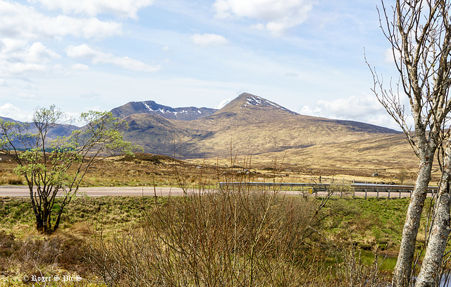
Across the Trunk. 1 Pip
A mid May view across the A82 trunk road on Rannoch Moor, with snow still on the Northern faces of the 1098 metres (3602 feet) high Clach Leathad,
The Pip is the view immediately behind me, which consists of Loch Ba and Rannoch Moor.
A warm and sunny day with no breeze which is unusual in this area,
I find a large view quite rewarding,
Wish you a nice Friday and a great weekend.
Music link, Happiness on a Mountain, www.youtube.com/watch?v=RjS_YsZfkJ0
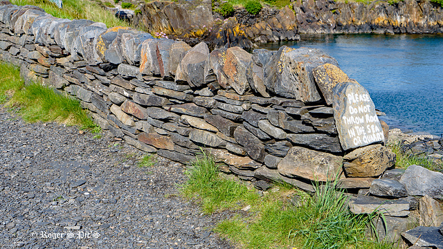
Dont Throw Rocks
Ellenabeich is a small village on the isle of Seil – an island on the east side of the Firth of Lorn, It is a former slate-mining village and is where parts of Ring of Bright Water were filmed. Seil is one of the Slate Islands. It is also the departure point for the small Passenger ferry to nearby Easdale which is another of the Slate Islands, The Quarry referred to on the stone is the flooded slate quarry behind the wall.
Shot in 16.9 so a large view may be better, HWW !
For anyone who has the time or the interest I have added a link to the Slate Islands, www.southernhebrides.com/slate-islands-roofed-the-world
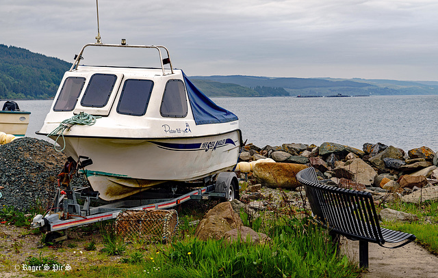
Bench at a working Harbour
Seating more likely used by the fishing community than by visitors,
This is Carradale Harbour on the East Coast of Kintyre, With the herring industry thriving, the first pier was built in 1858.
However, the fishing here now is mainly shellfish. But through the haze and in the distance the tanks of a Kilbrannan Sound fish farm can be seen.
HBM and a good week to all !
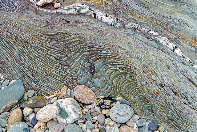
Lava Flow? 2 Pips.
A few more images from this remarkable beach at Torrisdale Bay, in Kintyre. See 2 pips!
Please view image large! and see previous image if you have the time Rapid Cooling (1 pip)
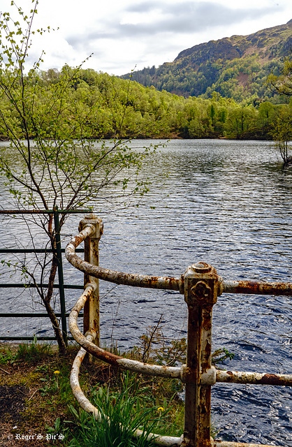
Round the Bend
Another image from the beautiful Loch Katrine,
This loch is often call Scotland in miniature because of its varied landscape of Forests, Peaks and island filled loch,
I prefer it large,
Rapid Cooling (1 pip)
At Torrisdale Bay on the Eastern Cost of Kintyre is this extraordinary rock formation, formed I assume as molten lava reached the sea! However, information regarding these rocks appears to be non-existent.
PIP included for a cross view !
The sea is the Kilbrannan Sound with the Isle of Arran in the far distance
I will also say that in the main image, the light/Lens combination has turned the rock slightly greener than I remember it!
It only really becomes clear in a large view !!!!!!
Jump to top
- ipernity © 2007-2025
- Help & Contact
|
Club news
|
About ipernity
|
History |
ipernity Club & Prices |
Guide of good conduct
Donate | Group guidelines | Privacy policy | Terms of use | Statutes | In memoria -
Facebook
Twitter

