Roger (Grisly)'s photos
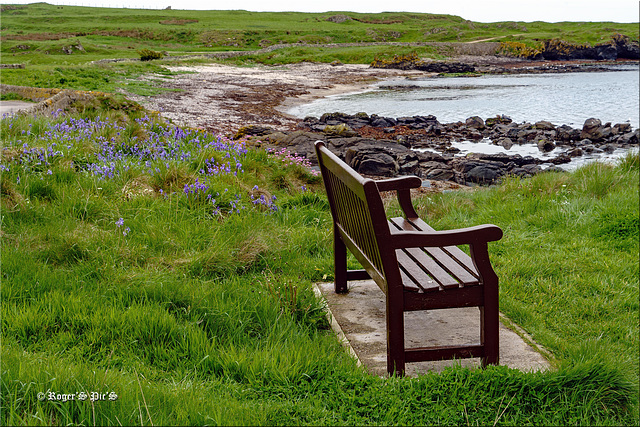
Seal View, (Pip)
Apologies but you will probably need a large view for clarity
This is It is a short distance north of the tip of the Mull of Kintyre, which faces out towards Northern Ireland and the Atlantic with views of the islands of Gigha, Islay and Jura.
Seals are visible in the pip,
For convenience, I only carry my landscape lens while away from the car which can have drawbacks especially in situations such as this.
HBM and a good week,
The Forth and Clyde,
Lock Gates on the Forth and Clyde Canal at The Helix, Falkirk.
The canal is 35 miles (56 km) long, and it runs from the River Carron at Grangemouth to the River Clyde at Bowling, This allowed navigation from Edinburgh on the east coast to the port of Glasgow on the west coast.
Better viewed large I think !
Wish everyone a nice Friday and a peaceful weekend
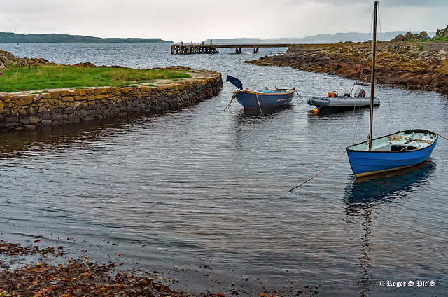
North Harbour,
Stone wall to the small harbour at Portencross, on the Firth of Clyde, West Kilbride.
The pier in the background was built in the era of Clyde steamer cruising but was never used as much as many other coastal locations
HWW and a large view if possible,
Graylake Reserve (1 pip)
A shot from one of the paths at Greylake Nature Reserve on the Somerset levels,
See pip for a closer view of Bulrush
I think a large view gives more detail !
Trailside Bench
A rest point along one of the trails at Greylake Nature Reserve on the Somerset Levels,
This path was particularly good for butterflies, insects and small birds,
HBM and a great week
Water Control, (1 pip)
This is Greylake and the sluice gates that control water levels on the King's Sedgemoor Drain. This man made waterway is only 9.8 miles long, but it takes the water of the River Cary across King's Sedgemoor before it accepts the waters of the Eighteen-Foot Rhyne , Langacre Rhyne, Sowy River and also taking the waters of Chedzoy New Cut Before flowing into the River Parrett and on to Bridgwater Bay.
It has become very important for the water table on this part of the Somerset Levels
The pip shows the nature reserve from the same location
Large view recommended. A Nice Friday and a good weekend to all !
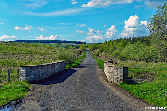
Bridge over the Bannock Burn, (1pip)
The Bannock Burn is a stream which rises at about 1,300 feet on Touchadam Moor, in the Touch Hills to the south-west of Stirling in central Scotland. The Bannock flows eastward and enters the River Forth to the east of Stirling, close to the site of the Battle of Bannockburn, which was fought on 23–24 June 1314, between the army of Robert the Bruce, King of Scots, and the army of King Edward II of England,
This is an area called North Third and the trees on the right are in Middle third Woods,
The pip shows the burn prior to it entering the Woods
HWW!
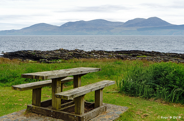
Isle of Arran through the haze
Image across the Kilbrannan Sound from Grogport on the Kintyre peninsula,
HBM and a nice week!
The Sun is Setting
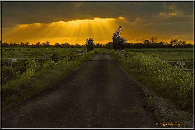
The Somerset Levels at Sunset !
Jump to top
- ipernity © 2007-2025
- Help & Contact
|
Club news
|
About ipernity
|
History |
ipernity Club & Prices |
Guide of good conduct
Donate | Group guidelines | Privacy policy | Terms of use | Statutes | In memoria -
Facebook
Twitter

