GrahamH's photos
2140 Silver City Hwy 007
| |
|
2139 Silver City Hwy 006
| |
|
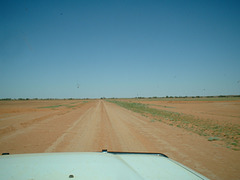
The Silver City Highway south of Packsaddle looking south. the green band across the picture is a creek during rain. The sign warns the driver that the road goes into the creek bed.
2138 Silver City Hwy 005
| |
|
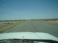
The Silver City Highway south of the Salt Lake looking south. Rain damage and roadtrains keep the interest up.
2137 Silver City Hwy 004
2136 Silver City Hwy 003
2135 Silver City Hwy 002
2134 Silver City Hwy 001
2193 The Dish Parkes area 004
| |
|
'The Dish' north of Parkes.
www.atnf.csiro.au/outreach/visiting/parkes/index.html
en.wikipedia.org/wiki/The_Dish
2192 Parkes area 003
2191 Parkes area 002
2190 Parkes 001
2120a Mt Shannon 041
| |
|
A telecoms site providing mobile phone services and links to other sites. I was there to check the finish of the recent mobile phone base installation.
Mt Shannon MSNGLM0 MT SHANNON Southwest of Milparinka. Grid Square: QG00td, QG00sc? 141 33 43, 29 54 50
www.bing.com/maps/?cp=-29.912451%7E141.563396&lvl=19.0&style=a
Approximately 330M above a very distant sea level.
2125 Milparinka area 013
2153a Mt Dering Silver City Hwy 012
2121 Milparinka area 009
| |
|
|
|
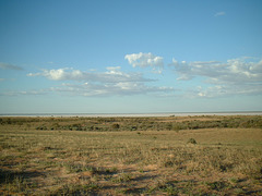
View from Mt Shannon Southwest of Milparinka. January 2007.
www.bing.com/maps/?cp=-29.912451%7E141.563396&lvl=19.0&style=a
Approximately 330M above a very distant sea level.
2123 Milparinka area 011
| |
|
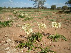
Plants which have sprung up following recent rain, on a floodway near Mt Shannon station southwest of Milparinka.


