Location
Lat, Lng: 38.178940, -118.184620
You can copy the above to your favourite mapping app.
Address: State Highway 360, Luning, Nevada, 89420
You can copy the above to your favourite mapping app.
Address: State Highway 360, Luning, Nevada, 89420
See also...
Keywords
Authorizations, license
-
Visible by: Everyone -
All rights reserved
-
50 visits
West Central NV2 20


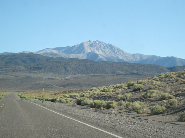
Proceeded south on SR 360 aiming to camp at the trailhead to Boundary Peak.
- Keyboard shortcuts:
Jump to top
RSS feed- Latest comments - Subscribe to the comment feeds of this photo
- ipernity © 2007-2025
- Help & Contact
|
Club news
|
About ipernity
|
History |
ipernity Club & Prices |
Guide of good conduct
Donate | Group guidelines | Privacy policy | Terms of use | Statutes | In memoria -
Facebook
Twitter


Sign-in to write a comment.