IMG_2164
IMG_2165
Old US 50
IMG_2167
IMG_2168
IMG_2169
IMG_2170
Desatoya Mountains
IMG_2172
IMG_2173
IMG_2174
IMG_2175
IMG_2176
IMG_2177
IMG_2178
IMG_2179
IMG_2180
IMG_2181
IMG_2182
IMG_2183
IMG_2184_adj
IMG_2186
IMG_2187
IMG_2162
IMG_2161
IMG_2159
100_0317
100_0316
100_0315
100_0314
Jill
100_0312
100_0311
100_0310
100_0309
100_0308
IMG_2158
IMG_2157
IMG_2156
IMG_2155
IMG_2154
IMG_2153
IMG_2152
IMG_2151_adj
IMG_2150
Location
Lat, Lng:
You can copy the above to your favourite mapping app.
Address: unknown
You can copy the above to your favourite mapping app.
Address: unknown
See also...
Keywords
Authorizations, license
-
Visible by: Everyone -
All rights reserved
-
221 visits
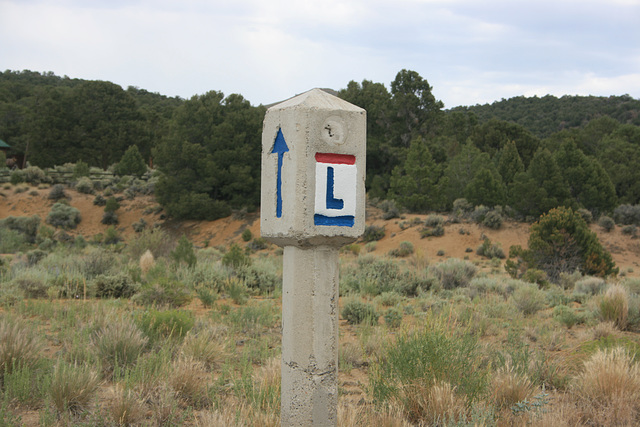
Lincoln Highway Marker


On modern US 50 at Bob Scott Summit east of Austin, Nevada. As I researched for the Discussion, the Lincoln Highway across Nevada, including the southern route from outside Fallon, NV, westward into California, became US 50.
Don Barrett (aka DBs travels) has particularly liked this photo
- Keyboard shortcuts:
Jump to top
RSS feed- Latest comments - Subscribe to the comment feeds of this photo
- ipernity © 2007-2025
- Help & Contact
|
Club news
|
About ipernity
|
History |
ipernity Club & Prices |
Guide of good conduct
Donate | Group guidelines | Privacy policy | Terms of use | Statutes | In memoria -
Facebook
Twitter

Don Barrett (aka DBs… has replied to slgwv clubSign-in to write a comment.