Gudrun's photos with the keyword: Los Lagos
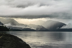
Lago Todos los Santos
| 17 Aug 2016 |
|
|
|
Clouds starting to clear after a day of heavy rain. Inset a mono version and a clickable note of the same view the next morning.
en.wikipedia.org/wiki/Vicente_P%C3%A9rez_Rosales_National_Park
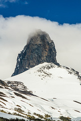
Cerro Pantojo (PiP)
| 23 Mar 2016 |
|
|
|
1897m high Cerro Pantojo seen from Paso Samore on the Argentinean/ Chilean border. Cerro Pantojo is the basaltic plug of an eroded pleistocene stratovolcano.
See inset photos for a wider view from the pass.
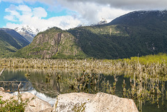
Río Futaleufú
| 19 Mar 2016 |
|
|
|
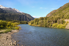
Río Futaleufú makes a big bend before draining into Lago Yelcho. The river in its changing course- probably caused by earthquakes- has drowned a lot of trees but vegetation is clawing its way back (see inset photos).
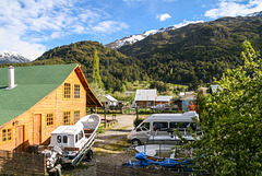
Futaleufú in spring
| 18 Mar 2016 |
|
|
|
View from Hotel El Barranco. Futaleufu (~2000 inhabitants) is the adminstrative capital of Palena province and a centre of white water rafting on Futaleufu river.
HFF everybody!
Río Futaleufú
| 17 Mar 2016 |
|
|
|
View east over Río Futaleufu. Just behind the bridge is the Argentinean border post followed by the Chilean Avanzada El Limite (see inset photos).
Lago Todos los Santos
| 16 Mar 2016 |
|
|
|
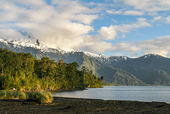
Morning on the shores of Lago Todos los Santos, seen from Petrohué. The 178,5 km² large lake lies in Vicente Pérez Rosales National Park , is surrounded by temperate rain forest and ringed by mountains and volcanoes, among them Osorno, Puntiagudo and Tronadór.
Volcán Osorno (PiP)
| 15 Mar 2016 |
|
|
|
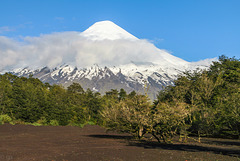
2652m high Osorno seen from Lago Todos los Santos. Osorno is a classical stratovolcano with a glacier on top, its last eruption was in 1869.
The inset photo shows basalt columns on the western side of the volcano.
volcano.si.edu/volcano.cfm?vn=358010
Jump to top
RSS feed- Gudrun's latest photos with "Los Lagos" - Photos
- ipernity © 2007-2025
- Help & Contact
|
Club news
|
About ipernity
|
History |
ipernity Club & Prices |
Guide of good conduct
Donate | Group guidelines | Privacy policy | Terms of use | Statutes | In memoria -
Facebook
Twitter

