sps1955's photos with the keyword: Godmanchester
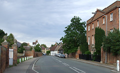
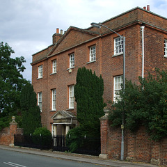
Godmanchester: West Street with Farm Hall 2011-07-…
| 17 Jul 2011 |
|
The grounds of Farm Hall , on the right, continue on the opposite side of the road, giving the house a view down an avenue with a formal canal leading to the River Ouse.
Godmanchester: Island Hall 2011-07-10
Godmanchester: Island Hall 2011-07-10
| 17 Jul 2011 |
|
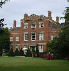
c.1750 but the window dressings are a mid-C19 alteration. The garden front, seen here, and the street front are identical. List description: www.britishlistedbuildings.co.uk/en-53673-island-hall-god... .
Godmanchester: Island Hall 2011-07-10
| 17 Jul 2011 |
|
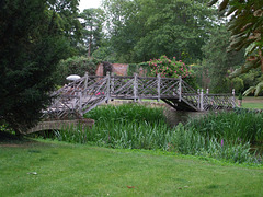
The Chinese Bridge to an island in the River Ouse, reconstructed in the 1980s: www.godmanchester.co.uk/featured-articles/10-buildings/ch...
Godmanchester: Island Hall 2011-07-10
| 17 Jul 2011 |
|
c.1750 but the window dressings are a mid-C19 alteration. The garden front, seen here, and the street front are identical. List description: www.britishlistedbuildings.co.uk/en-53673-island-hall-god... .
Godmanchester: Island Hall 2011-07-10
| 17 Jul 2011 |
|
c.1750 but the window dressings are a mid-C19 alteration. The garden front, seen here, and the street front are identical. List description: www.britishlistedbuildings.co.uk/en-53673-island-hall-god... .
Godmanchester: Island Hall 2011-07-10
| 17 Jul 2011 |
|
Gothick lantern and weather vane over stables; presumably modern copies as the list description says "Cupola now removed".
Godmanchester 2011-07-10
Godmanchester: Chinese Bridge 2011-07-10
| 17 Jul 2011 |
|
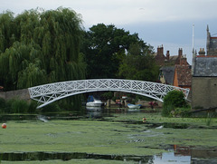
Dated 1827 but reconstructed in 1960 [see www.britishlistedbuildings.co.uk/en-53517-the-chinese-bri... ], the footbridge links the town to an island in the River Ouse.
Godmanchester: Farm Hall 2011-07-10
| 17 Jul 2011 |
|
Built 1746 for Charles Clarke, the recorder of Huntingdon, the neighbouring county town. List description: www.britishlistedbuildings.co.uk/en-53726-farm-hall-24-go... . The grounds continue on the opposite side of the road, where there is a canal giving access to the River Ouse: www.flickr.com/photos/40878011@N07/5945639841/in/set-7215... ; www.flickr.com/photos/40878011@N07/5946198628/in/set-7215... . Farm Hall was used by the British government to house Nazi scientists at the end of the second world war: news.bbc.co.uk/1/hi/england/cambridgeshire/3127222.stm . See also visitinghousesandgardens.wordpress.com/2012/11/29/farm-ha... .
Godmanchester: Farm Hall 2011-07-10
| 17 Jul 2011 |
|
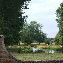
The view towards the River Ouse, showing the canal and its connection to the river. The orange on the river bank is temporary fencing associated with repair work. See also www.flickr.com/photos/40878011@N07/5945639841/in/set-7215... .
Godmanchester: St Mary 2011-07-10
Godmanchester: St Mary 2011-07-10
| 17 Jul 2011 |
|
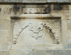
Inscription above the west door of the tower, built in 1623. The lettering puzzled me but, according to the Victoria County History , reads BVRGVS GVMECESTRE, i.e. Borough of Godmanchester (the 1943 edition of Bartholomew's Gazetteer of the British Isles says that "Godmanchester" should be pronounced "Gumsester".)
Jump to top
RSS feed- sps1955's latest photos with "Godmanchester" - Photos
- ipernity © 2007-2025
- Help & Contact
|
Club news
|
About ipernity
|
History |
ipernity Club & Prices |
Guide of good conduct
Donate | Group guidelines | Privacy policy | Terms of use | Statutes | In memoria -
Facebook
Twitter

