slgwv's photos with the keyword: Churchill County
Soda Lake
Soda Lake
Soda Lake
| 30 Sep 2021 |
|
|
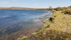
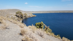
Near the south side, looking west to the point where the rim is nonexistent! Again, the location is off.
Soda Lake
| 30 Sep 2021 |
|
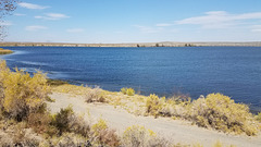
On the south side, where the rim is low to non-existent. Apparently most of the ejected debris was being blown to the northeast. Again, the position is off and I can't change it.
Soda Lake
| 30 Sep 2021 |
|
|
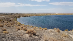
On the south side, looking toward the high part of the rim to the northeast. Again, the position is off and I can't find how to change it.
Soda Lake
| 30 Sep 2021 |
|
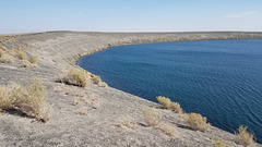
On the north side, looking toward the highest part of the rim to the southeast. Apparently the winds were coming from the southwest during the eruption, because most of the erupted debris ("tephra") piled up to the northeast! Most of the tephra is just sediment that was ejected in the explosion, but it includes some basaltic cinders derived from the magma body. They're the dark particles.
Soda Lake
| 30 Sep 2021 |
|
|
On the north side. The location is off and apparently the location adjustment no longer exists.
View, Salt Wells Basin
| 27 Oct 2011 |
|
|
|
Looking east from the Lahontan Mtns. US 50/Lincoln Highway is barely visible out in that flat. Granite Springs Range on the horizon--site of an underground nuclear test (Project Shoal) in the early 1960s.
Lahontan Reservoir
Irrigation Ditch
| 25 Feb 2011 |
|
Lahontan Dam. One of the very first reclamation projects in the western US, around the time of WW I.
Lahontan Dam
| 25 Feb 2011 |
|
|
Nevada, USA. A Bureau of Reclamation project from around the time of WW I. It furnishes irrigation water to Fallon, Nev., and vicinity.
Lahontan Reservoir
| 25 Feb 2011 |
|
Lahontan Dam
Lahontan Reservoir
Coppereid
| 03 Mar 2011 |
|
|
|
Looking east up White Cloud Canyon in the Stillwater Range. White Cloud mining district, Churchill county, Nevada. This area produced small amounts of copper ore from the late 1800s up thru the 1950s or so. A marginal base-metal operation like this is a great way to make a small fortune...provided, of course, you start with a _large_ fortune.
Coppereid
Stone wall, Coppereid, Nevada
| 15 Feb 2009 |
|
White Cloud mining district, Churchill county. This area produced small amounts of Cu ore from the late 1800s up thru the 1950s or so. A marginal base-metal operation like this is a great way to make a small fortune...provided, of course, you start with a _large_ fortune.
Lahontan shorelines
Jump to top
RSS feed- slgwv's latest photos with "Churchill County" - Photos
- ipernity © 2007-2025
- Help & Contact
|
Club news
|
About ipernity
|
History |
ipernity Club & Prices |
Guide of good conduct
Donate | Group guidelines | Privacy policy | Terms of use | Statutes | In memoria -
Facebook
Twitter

