RHH's photos with the keyword: ten sleep
Ten Sleep Canyon
| 22 Oct 2018 |
|
|
|
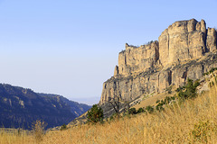
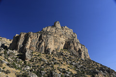
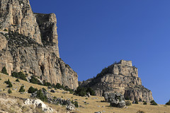
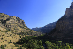
There are two routes that we could have taken leaving Yellowstone National Park from the east entrance. One route goes through the Bighorn Mountains and the other through Ten Sleep Canyon. We chose the latter route since it would save us an hour or two on our way to the Black Hills of South Dakota. This photo and the insets were taken in Ten Sleep Canyon, named for the fact that "it was 10 days' travel, or “10 sleeps,” from Fort Laramie (southeast), Yellowstone National Park (west-northwest), and the Indian Agency on the Stillwater River in Montana (northwest)."
Ten Sleep Canyon
| 22 Oct 2018 |
|
|
|
There are two routes that we could have taken leaving Yellowstone National Park from the east entrance. One route goes through the Bighorn Mountains and the other through Ten Sleep Canyon. We chose the latter route since it would save us an hour or two on our way to the Black Hills of South Dakota. This photo and the insets were taken in Ten Sleep Canyon, named for the fact that "it was 10 days' travel, or “10 sleeps,” from Fort Laramie (southeast), Yellowstone National Park (west-northwest), and the Indian Agency on the Stillwater River in Montana (northwest)."
Near Ten Sleep
| 21 Oct 2018 |
|
|
Just before the town of Ten Sleep, Wyoming, we stopped to photograph this abandoned building with some of the red sandstone formations that are found in the area behind it. Ten Sleep is in eastern Wyoming near the west entrance to Ten Sleep Canyon.
Near Ten Sleep
| 21 Oct 2018 |
|
|
|
Ten Sleep, Wyoming, is a small town near the west end of Ten Sleep Canyon, and the area around is noted for its wonderful formations and colors. The town is named for the fact that it was, in Native American lore, "10 days' travel, or “10 sleeps,” from Fort Laramie (southeast), Yellowstone National Park (west-northwest), and the Indian Agency on the Stillwater River in Montana (northwest)."
Signal Cliff
| 21 Oct 2018 |
|
|
|
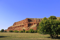
Signal Cliff is an impressive red sandstone formation west of Ten Sleep, Wyoming, a small town on the west end of Ten Sleep Canyon. The cliff is part of the Chugwater Formation which is found throughout the area. After spending the night in Cody, Wyoming, we left Wyoming via Ten Sleep Canyon, but stopped for photos along the way, especially here.
Jump to top
RSS feed- RHH's latest photos with "ten sleep" - Photos
- ipernity © 2007-2025
- Help & Contact
|
Club news
|
About ipernity
|
History |
ipernity Club & Prices |
Guide of good conduct
Donate | Group guidelines | Privacy policy | Terms of use | Statutes | In memoria -
Facebook
Twitter

