RHH's photos with the keyword: panamint mountains
Panamint Valley
| 19 Nov 2018 |
|
|
|
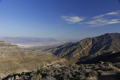
The Panamint Valley is on the west side of Death Valley National Park and its northern end lies within the park boundaries. This view looks south with the mountains of the Nelson Range to the southwest..
Aguereberry Point
| 15 Sep 2018 |
|
|
|
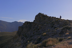
This is Aguereberry Point in the Panamint Mountains on the west side of Death Valley National Park. From the small parking area we walked along this ridge to the end of the point and watched the sunset there the last night of our stay in Death Valley.
Aguereberry Point
| 15 Sep 2018 |
|
|
|
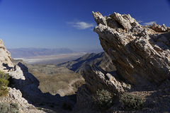
This is the view south from Aguereberry Point in the Panamint Mountains on the west side of Death Valley National Park. We watched the sunset there and spent the night there, the last night of our stay in Death Valley.
Aguereberry Point
| 15 Sep 2018 |
|
|
|
After exploring the Eureka Mine and the ghost town of Harrisburg we drove to the end of that road to Aguereberry Point. There were several others there when we arrived and another photographer came while we were there to capture the sunset, but we were alone by the time night fell and spent the night there, the last night of our stay in Death Valley.
Aguereberry Point
| 15 Sep 2018 |
|
|
|
After exploring the Eureka Mine and the ghost town of Harrisburg we drove to the end of the road to Aguereberry Point where we had our evening meal, such as it was, watched the sunset and slept the night. This is the view south from the point.
Sunset over Badwater
| 06 Apr 2017 |
|
|
|
Taken from Dante's View on the east side of Death Valley National Park, the photo looks out over Badwater, the lowest point in North America, to the Panamint Mountains on the west side of the valley. At the lower edge of Badwater the walkway out to the lowest point can be seen.
Emigrant Canyon
| 25 Mar 2017 |
|
|
|
Emigrant Canyon runs north and south through the Panamint Mountains on the west side of Death Valley National Park. It drops from over 5000 feet to sea level through a winding canyon and along a dangerous winding road. This view is north from along the road and near its end.
Eureka Gold Mine
| 18 Mar 2017 |
|
|
|
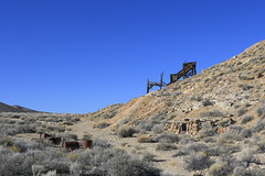
The Eureka Mine was worked by a Basque immigrant named Pete Aguereberry from 1907 to 1930. The mine produced ore assaying at $500 to the ton. The photo shows the hillside near the mine with the ruins of an old stone structure at the base of the hill, the remains of the ore crusher on the side of the hill, and various debris from the mining operation scattered around. The abandoned camp or town, named Harrisburg, is on the other side of the hill.
Jump to top
RSS feed- RHH's latest photos with "panamint mountains" - Photos
- ipernity © 2007-2025
- Help & Contact
|
Club news
|
About ipernity
|
History |
ipernity Club & Prices |
Guide of good conduct
Donate | Group guidelines | Privacy policy | Terms of use | Statutes | In memoria -
Facebook
Twitter


