1/500 • f/9.0 • 80.0 mm • ISO 160 •
Canon EOS 50D
Location
Lat, Lng: 46.671993, 8.001632
You can copy the above to your favourite mapping app.
Address: Grindelwald, Bern
You can copy the above to your favourite mapping app.
Address: Grindelwald, Bern
See also...
See more...Authorizations, license
-
Visible by: Everyone -
All rights reserved
-
2 196 visits
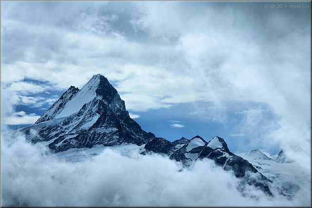
Das Schreckhorn in den Wolken


Das Schreckhorn (4'058 m) vom Faulhorn aus.
Er ist der höchste Berg, der vollständig im Kanton Bern liegt.
(46.6720, 08.0016); [150°] – swisstopo
Translate into English
Er ist der höchste Berg, der vollständig im Kanton Bern liegt.
(46.6720, 08.0016); [150°] – swisstopo
Andy Rodker, sea-herdorf, Thérèse, and 7 other people have particularly liked this photo
- Keyboard shortcuts:
Jump to top
RSS feed- Latest comments - Subscribe to the comment feeds of this photo
- ipernity © 2007-2025
- Help & Contact
|
Club news
|
About ipernity
|
History |
ipernity Club & Prices |
Guide of good conduct
Donate | Group guidelines | Privacy policy | Terms of use | Statutes | In memoria -
Facebook
Twitter


·
Thank you very much, Buck!
LG Erich
Ja, ich finde, mit Wolken sind die Bilder oft interessanter, als mit stahlblauem Himmel.
Veile Grüße, Herbert
The mountain is called "Schreckhorn" ("Schreck" means fright, scare, shock), probably because of its scary shape.
Yes, for me it's always more interesting to show the mountains with some clouds than only with a clear and sunny sky.
Sign-in to write a comment.