IMG_0248_adj
IMG_0249_adj
IMG_0251
IMG_0252
IMG_0253
IMG_0254
IMG_0255
100_1352
IMG_0256
IMG_0257
IMG_0259_adj
IMG_0260_adj
IMG_0261_adj
IMG_0262_adj
IMG_0263_adj
Steps on the trail
100_1353
100_1354
100_1356
IMG_0265_adj
IMG_0266
IMG_0267
100_1357
IMG_0245
IMG_0244
IMG_0243
IMG_0242
IMG_0241
IMG_0240
IMG_0239_adj
100_1351
100_1350
IMG_0238
IMG_0237
100_1349
100_1348
IMG_0236
100_1347
IMG_0235
IMG_0234
100_1346
100_1345
IMG_0232
IMG_0231
IMG_0230
Location
Lat, Lng:
You can copy the above to your favourite mapping app.
Address: unknown
You can copy the above to your favourite mapping app.
Address: unknown
See also...
Keywords
Authorizations, license
-
Visible by: Everyone -
All rights reserved
-
269 visits
Lake Washington


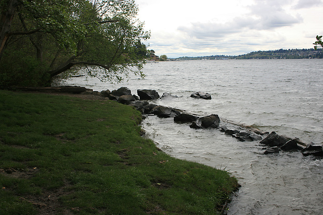
On the east side, looking south from St. Edwards State Park. Lake Washington separates Seattle, Washington, from the suburbs to the east. It is natural, occupying a glacially scoured basin, but its level was lowered about 9 ft (3 m) in 1916 with the construction of the Ship Canal directly across Seattle to Puget Sound. The original outlet was at the south, where the lake overflowed into the Duwamish River.
- Keyboard shortcuts:
Jump to top
RSS feed- Latest comments - Subscribe to the comment feeds of this photo
- ipernity © 2007-2025
- Help & Contact
|
Club news
|
About ipernity
|
History |
ipernity Club & Prices |
Guide of good conduct
Donate | Group guidelines | Privacy policy | Terms of use | Statutes | In memoria -
Facebook
Twitter

Sign-in to write a comment.