Old Maps
Folder: Travel Related
Some of the content of this album are scans of maps from an 1898 atlas.
08 May 2020
1 favorite
1898 Map of South America Showing Venezuela
Scan of a map printed in 1898.
08 May 2020
2 favorites
1898 Map of South America Showing Uruguay
Scan of a map printed in 1898.
08 May 2020
2 favorites
1 comment
1898 Map of South America Showing Patagonia
Scan of a map printed in 1898.
08 May 2020
1 favorite
1898 Map of South America Showing Bolivia
Scan of a map printed in 1898.
08 May 2020
6 favorites
8 comments
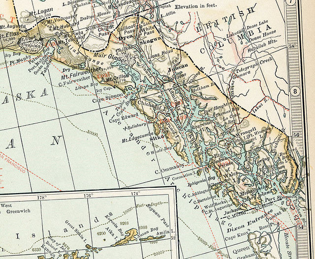
1898 Map of Alaska Showing Panhandle Area
Scan of a map printed in 1898. Note the areas marked with red, they are the gold fields of the 1898 rush.
This map shows Sitka as the capital; it was later moved to Juneau.
I have had the pleasure of cruising these passages on the Alaska State Ferry (and a few cruise ships, too).
Just some of the maps I have online (for Sunday Challenge too!)
PiP for another detail of the Inside Passage area.
08 May 2020
1 favorite
1898 Map of Vancouver Island and Inside Passage
Scan of a map printed in 1898.
08 May 2020
1 favorite
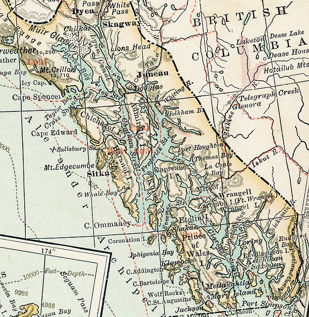
1898 Map of Juneau, Panhandle, and Inside Passage
Scan of a map printed in 1898. Notice the markings showing "coal" areas. The map was created during the Klondike Gold Rush, so it also shows the gold areas. Note in the upper right a shaded gold area above Telegraph Creek in British Columbia.
Jump to top
RSS feed- Latest items - Subscribe to the latest items added to this album
- ipernity © 2007-2025
- Help & Contact
|
Club news
|
About ipernity
|
History |
ipernity Club & Prices |
Guide of good conduct
Donate | Group guidelines | Privacy policy | Terms of use | Statutes | In memoria -
Facebook
Twitter


